25 Oct Land Management Demonstration Projects 2020
One of the Agri-Watershed Partnership’s projects for 2020 was to work with watershed group(s) and landowners to identify areas where agricultural runoff had impacted surface waters and to facilitate the use of the best management practices (BMPs) to address the problem. Financial support to complete the projects was provided by the AgriWatershed Partnership on a cost-shared basis with the landowners involved.
During the winter and spring of 2020, a list of 9 potential BMP projects was compiled from discussions with local watershed personnel and landowners. Each submission was evaluated and ranked, using factors that affect the impact of runoff identified by the AWP Steering Committee, by a selection committee from the Technical Working Group. Landowners from the top 2 ranked sites were contacted and the process to design land management projects to address runoff issues on the properties was initiated. Soil & Water Engineers from the Department of Agriculture worked with the landowners to design soil conservation plans for each property and work was begun in August and 2020.

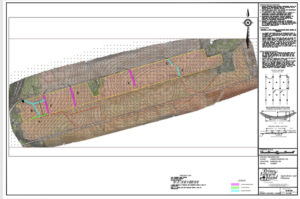
Figure 1 Drone Survey and Proposed Soil Conservation Plan for Visser Demonstration Project
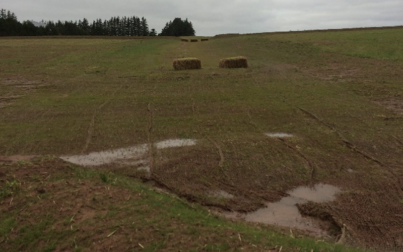
Figure 1 Drone Survey and proposed soil conservation plan for Visser Demonstration ProjectThe first demonstration site in Uigg, Queens County. It is an approximately 90-acre field owned and farmed by J&S Visser Incorporated of Orwell. The landowner, Steven Visser had worked with the local watershed coordinator, Clarence Ryan of the Pisquid River Enhancement Project, to identify the site and promote it to the AgriWatershed Partnership. In the past, the field experienced uncontrolled runoff that had cut a new path through the field to a nearby culvert, impacting a tributary to the Orwell River.
The field has gentle but long slopes. The project proposal included several farmable berms and a major grassed waterway that serves as an outlet for soil conservation work in a neighbouring field as well. The project was completed in late August 2020.

Figure 2 Outlet at Mooney Demonstration Site
The second demonstration site is a field owned by Arthur Mooney & Sons, St. Catherine’s. The field is in Red Point, Eastern Kings County. Fred Cheverie, coordinator with the Souris and Area Branch of the PEI Wildlife Federation, was key in working with farmer Merlin Mooney, to promote the project. Again, Soil & Water Engineers from the Department of Agriculture & Land designed a soil conservation system to stabilize a major concentrated flow through the field and a rock chute was installed to address a bank incision that had begun to work into the field and was impacting a small stream that led to the Basin Head estuary. Work was begun and completed in early September of 2020.
Working through both demonstrations projects has helped the AgriWatershed Partnership develop a framework for expanding the BMP Support program for 2021. It is hoped that more watershed personnel and farmers will work together to promote several more projects for the coming growing season.
